Westville, KwaZulu-Natal
Westville is an area in KwaZulu-Natal, South Africa, and is just west and 10 km inland from the Durban CBD. It was a formerly independent municipality however it became part of the eThekwini Metropolitan Municipality in 2002.
Westville | |
|---|---|
 Westville 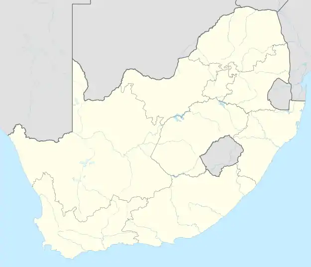 Westville | |
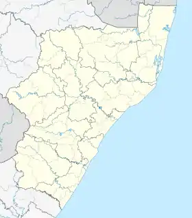
| Coordinates: 29.831°S 30.925°E | |
| Country | South Africa |
| Province | KwaZulu-Natal |
| Municipality | eThekwini |
| Area | |
| • Total | 30.76 km2 (11.88 sq mi) |
| Population (2011)[1] | |
| • Total | 30,508 |
| • Density | 990/km2 (2,600/sq mi) |
| Racial makeup (2011) | |
| • Black African | 32.5% |
| • Coloured | 2.6% |
| • Indian/Asian | 22.1% |
| • White | 42.0% |
| • Other | 0.7% |
| First languages (2011) | |
| • English | 72.2% |
| • Zulu | 17.3% |
| • Afrikaans | 5.4% |
| • Xhosa | 1.9% |
| • Other | 3.2% |
| Time zone | UTC+2 (SAST) |
| Postal code (street) | 3629 |
| PO box | 3630 |
The climate is subtropical; Westville experiences mild, dry winters, and hot, humid summers with frequent late afternoon downpours.
History
The settlement began in 1847 as the farm "Westville" (named in honour of Martin West, the first British lieutenant-governor of what was then the province of Natal). In March 1848 a group of Germans, brought out by Jonas Bergtheil, arrived in Port Natal to settle the area and farm cotton.[2] They established several farms both in Westville and neighbouring New Germany (the two settlements are separated by the Palmiet Valley), and were a tight-knit community. The Westville settlers would travel through Palmiet Valley on Sundays to attend the Lutheran Church in New Germany. When their cotton crops failed the first year, settlers were granted permission to farm other crops like potatoes, mielies (corn), barley and oats. The city of Durban provided a ready market for their produce.
The 'German House' owned by the Lange family on what is today Jan Hofmeyr Road became an important stopover for those travelling the Old Main Road between Durban and Pietermaritzburg. The Outspan Tree alongside the hostelry is now a national monument. The Bergtheil Museum, located on what is today 16 Queen's Avenue, was built in the 1840s and is the oldest remaining house in Westville. It offers visitors an idea of early settler dwellings and farming practices.
The 1850s saw the addition of Scottish and English settlers to Westville. In the 1870s, Indian market gardeners moved into the area too. In time, the German settlers integrated with other settlers and began to speak English.
Westville was proclaimed a borough in 1956. It was incorporated into the eThekwini Metropolitan Municipality, along with Durban and various surrounding towns, suburbs and villages as part of the post-apartheid re-organisation of South Africa's municipalities.
Geography
Westville is located in a topographically hilly region between the uMbilo River (south) and the Palmiet River (north) at an elevation of between 107m (351ft) and 300m (984ft) above sea level, just above the city of Durban.[3] The town is flanked by Durban to the east and north (Reservoir Hills), Queensburgh to the south, Clermont to the north-west and Pinetown to the west.[4] Westville is also centrally located to a few surrounding townships, namely Cato Manor, Clermont and Chesterville.
Suburban areas
Westville, along with Westville proper consists of 6 suburban areas including:[2]
- Atholl Heights
- Berea West (the suffix "West" was added to the suburb to differentiate from the suburb of Berea in Durban approximately 6 km to the west)[5]
- Chiltern Hills
- Dawncliffe
- Dawncrest
- Grayleigh
Westville's town centre, centered on Westville and Church Roads is located towards the western part of the town and to the south of the M13 highway. To the north of Westville, lie the suburbs of Atholl Heights, Chiltern Hills, Dawncrest, Grayleigh which are collectively known as "Westville North". Towards the south of Westville lie the suburbs of Dawncrest and Berea West.
Education
Schools situated in Westville include Star College Durban Westville Boys' High School, Westville Girls' High School, Atholl Heights Primary School, Berea West Junior Primary School, Berea West Senior Primary School, Pitlochry Primary School, Westville Senior Primary and the Deutsche Schule Durban. Higher education centres include a 2-square-kilometre campus of University of KwaZulu-Natal (formerly the University of Durban-Westville) and Varsity College (Westville campus).
Specialist schools such as The International Hotel School, based at the Westville Hotel, and The Fusion Cooking School can also be found in Westville.
Religions
There are several churches in Westville, including the Westville Methodist Church on 38 Jan Hofmeyr Road,[6] Our Lady of Lourdes Catholic Church on 14 Westville Road, the Westville Baptist Church on 2 Church Place,[7] St Elizabeth's Anglican Church on 45 Salisbury Avenue, and OneCity Church, which meets at the Westville Country Club.[8] Mosques in Westville include Habibia Soofie Masjid, a Soofie mosque, on 119 Jan Hofmeyr Road, and the Westville Jaame Musjid on 46 Meerut Road.
Economy
Offices
Westville boasts multiple business parks such as West Way Office Park and Essex Gardens amongst others, with others concentrated on Lancaster/Buckingham Terrace in the town centre and Essex Terrace and University Road near Westwood Mall, in the east of Westville. These business parks are home to small businesses and huge corporations alike, most notably the headquarters for companies such as RCL Foods, Boxer Superstores, The Unlimited insurance company, Vector Logistics and ESKOM's regional electricity supply offices.
Retail
Westville is one of the most significant retail hubs within the Greater Durban metropolis with four shopping centres serving the town varying from large regional shopping centres to small suburban shopping centres. The most prominent shopping centre is The Pavillion Shopping Mall, a regional shopping centre located to the south of Westville along the N3 highway and is categorised as the second largest shopping centre in the Greater Durban region after Gateway Theatre of Shopping in uMhlanga (north of Durban). The second largest shopping centre is the Westwood Mall, lying to the east of Westville along the M13 highway. The remaining two shopping centres are located in the town centre of Westville and include the local shopping centres of Westville Mall and Westville Junction Shopping Centre.
Attractions
Tourist attractions include Palmiet Nature Reserve, which has 15 kilometres of guided and self-guided trails. Further afield tourists can experience the evergreen Western Inland Route and Natal's regional attractions, including the Drakensberg (Barrier of Spears) Battlefields Tours, game reserves and Zululand. A large Anglo-German Historical Route exists with numerous churches, museums and grave sites depicting the early settlement struggles of the early colonial days.
Infrastructure
Healthcare
Westville is solely served by the Life Westville Hospital, a private hospital owned by Life Healthcare Group, located south of the N3 adjacent The Pavillion Shopping Centre.[9]
Prison
Westville Prison, which sits on the edge of Westville, is one of the largest prisons in the country and the only prison located in the Greater Durban area.
Road
Westville is well-connected to a network of four major freeways that service the Greater Durban region including the M13, N3, N2, and M19. Towards the centre of Westville, the M13 highway (King Cetshwayo Highway) is the main freeway cutting through Westville and an important commuter route linking the city of Durban to the satellite towns and suburbs west of the city, including Westville. The east–west metropolitan freeway connects Westville with Durban to the east and with Pinetown, Kloof, Gillitts and Hillcrest to the north-west. The main access routes from the M13 are via University and Essex Roads at the Exit 7 interchange, Rockdale Avenue and Jan Hofmeyr Road at the Exit 9 interchange, Queens and Salisbury Avenues at the Exit 9 interchange, Attercliffe Road at the Exit 11 interchange and Rodger Sishi and Westville Roads at the Exit 12 interchange. The M13 also serves an alternative route to Pietermaritzburg for motorists avoiding paying toll at the Mariannhill Toll Plaza on the N3 highway in Pinetown.
To the south of Westville, the N3 highway is a national route that runs in an east–west direction, connecting Westville with Durban's city centre to the south-east and with Pinetown and Pietermaritzburg to the north-west. The main access from the N3 is via the M32 (St James Avenue/Harry Gwala Road) at the Exit 13 interchange. Bordering Westville to the east, the N2 highway (Outer Ring Road) is a national route that runs in a north–south direction, connecting Westville with Port Shepstone to the south-west and with the King Shaka International Airport and KwaDukuza to the north-east. The main access routes from the N2 is via the N3 at the E.B. Cloete Interchange (Exit 165) and the M19 at the Umgeni Interchange (Exit 170). To the north of Westville, the M19 highway is a metropolitan freeway that runs in an east–west direction, connecting Westville with the New Germany/Pinetown area to the west and with the suburbs of Reservoir Hills to the north and Springfield Park in Durban to the north-east. The main access routes from the M19 is via Rodger Sishi Road/Dunkeld Road at the Exit 10 interchange and once again via Rodger Sishi Road at the Exit 12 interchange in New Germany.
The M32 metropolitan route (Harry Gwala Road; St James Avenue; Attercliffe Road; Jan Hofmeyr Road; Rodger Sishi Road) is a smaller arterial route that traverses through Westville in a north–south direction, connecting the town with the suburbs of Glenwood and Congella in Durban to the south-west and New Germany to the north-west.
References`
- "Main Place Westville". Census 2011.
- "Danish Maritime Museum in Elsinore", Museum Buildings, DETAIL, pp. 238–245, 31 December 2016, retrieved 6 September 2021
- "Westville topographic map, elevation, terrain". Topographic maps. Retrieved 17 November 2022.
- "Distance Westville, EThekwini, Kwazulu-Natal, ZAF > Durban, EThekwini, Kwazulu-Natal, ZAF - Air line, driving route, midpoint". www.distance.to. Retrieved 17 November 2022.
- "Distance Berea-West, EThekwini, Kwazulu-Natal, ZAF > Berea, EThekwini, Kwazulu-Natal, ZAF - Air line, driving route, midpoint". www.distance.to. Retrieved 19 November 2022.
- "Westville Methodist Church". westvillemethodist.co.za. Retrieved 22 July 2020.
- "Home - WBC". WestvilleBaptist.co.za. Retrieved 15 June 2017.
- "WELCOME". one city. Retrieved 15 June 2017.
- "Life Westville Hospital | Durban | Life Healthcare". www.lifehealthcare.co.za. Retrieved 19 November 2022.
.svg.png.webp)