Upper Greenwood Lake, New Jersey
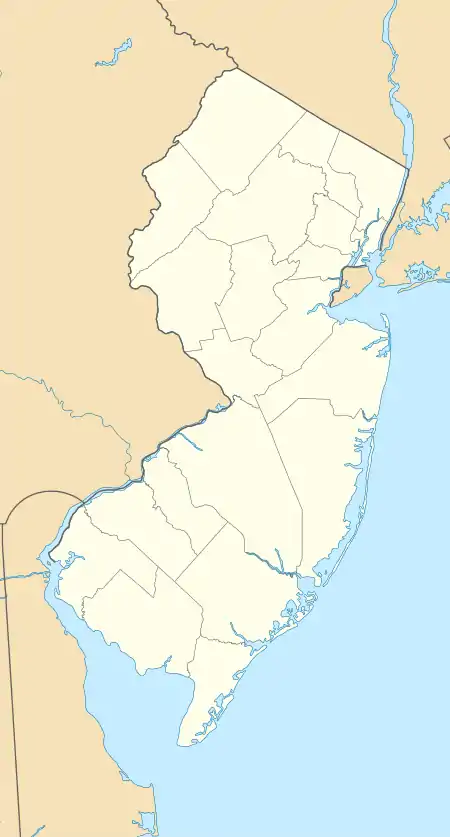
Upper Greenwood Lake is a census-designated place (CDP) in Passaic and Sussex counties, New Jersey, United States. It includes residential neighborhoods around the northern and central parts of its namesake lake. It is primarily in West Milford Township in Passaic County but extends to the northwest into Vernon Township in Sussex County. It is bordered to the west by Wawayanda State Park, to the southeast by Abram S. Hewitt State Forest, and to the northeast by the town of Warwick in Orange County, New York.
Upper Greenwood Lake, New Jersey | |
|---|---|
 Upper Greenwood Lake  Upper Greenwood Lake | |
| Coordinates: 41°11′0″N 74°22′48″W | |
| Country | |
| State | |
| County | Passaic, Sussex |
| Townships | West Milford Vernon |
| Area | |
| • Total | 3.16 sq mi (8.19 km2) |
| • Land | 2.74 sq mi (7.09 km2) |
| • Water | 0.42 sq mi (1.09 km2) |
| Elevation | 1,110 ft (340 m) |
| Population | |
| • Total | 3,687 |
| • Density | 1,346.11/sq mi (519.72/km2) |
| Time zone | UTC-5 (Eastern (EST)) |
| • Summer (DST) | UTC-4 (EDT) |
| ZIP Code | 07421 (Hewitt) |
| Area code(s) | 973/862 |
| FIPS code | 34-74930 |
| GNIS feature ID | 2806211[3] |
The lake drains to the northeast into Long House Creek, which descends into New York and joins Wawayanda Creek, a west-flowing tributary of Pochuck Creek, which in turn runs north to the Wallkill River, a northeast-flowing tributary of the Hudson.
The Upper Greenwood Lake community was first listed as a CDP prior to the 2020 census.[3]
References
- "ArcGIS REST Services Directory". United States Census Bureau. Retrieved October 11, 2022.
- "Census Population API". United States Census Bureau. Retrieved Oct 11, 2022.
- "Upper Greenwood Lake Census Designated Place". Geographic Names Information System. United States Geological Survey, United States Department of the Interior.
- "Census of Population and Housing". Census.gov. Retrieved June 4, 2016.
Municipalities and communities of Passaic County, New Jersey, United States | ||
|---|---|---|
| Cities |  Map of New Jersey highlighting Passaic County | |
| Boroughs | ||
| Townships | ||
| CDPs | ||
| Other communities | ||
| Footnotes | ‡This populated place also has portions in an adjacent county or counties | |
Municipalities and communities of Sussex County, New Jersey, United States | ||
|---|---|---|
| Boroughs | 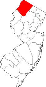 Map of New Jersey highlighting Sussex County | |
| Town | ||
| Townships | ||
| CDPs | ||
| Other communities | ||
| Footnotes | ‡This populated place also has portions in an adjacent county or counties | |