Rivera International Airport
Pres. Gral. Óscar D. Gestido International Airport (IATA: RVY, ICAO: SURV), formerly called Cerro Chapeu International Airport, is an airport serving Rivera, the capital of Rivera Department in Uruguay, and also serving Santana do Livramento, Brazil. There are plans to formally upgrade the facility to a binational facility, serving borth Uruguay and Brazil.[4]
Pres. Gral. Óscar D. Gestido International Airport Aeropuerto Internacional Pres. Gral. Óscar D. Gestido | |||||||||||
|---|---|---|---|---|---|---|---|---|---|---|---|
| Summary | |||||||||||
| Airport type | Public | ||||||||||
| Operator | Aeropuertos Uruguay | ||||||||||
| Serves | Rivera, Uruguay Santana do Livramento, Brazil | ||||||||||
| Elevation AMSL | 712 ft / 217 m | ||||||||||
| Coordinates | 30°58′30″S 55°28′35″W | ||||||||||
| Map | |||||||||||
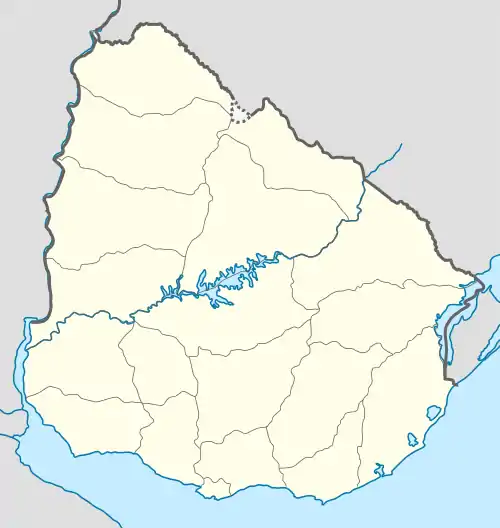 RVY Location in Uruguay | |||||||||||
| Runways | |||||||||||
| |||||||||||
The airport was opened on June 16, 1979, and is named after Óscar Diego Gestido (1901-1967), President of Uruguay in 1967.
There are low wooded hills north and east of the runway. The Tacuarembo VOR-DME (Ident: TMB) is located 51.9 nautical miles (96 km) south-southwest of the airport. The Rivera non-directional beacon (Ident: RV) is located on the field.[5][6]
Airlines and destinations
No scheduled flights operate at this airport.
Access
The airport is in the countryside 8 kilometres (5 mi) southeast of Rivera.
References
- Airport information for Rivera International Airport at Great Circle Mapper.
- "Rivera International Airport". Google Maps. Google. Retrieved 9 February 2019.
- "Rivera Airport". SkyVector. Retrieved 9 February 2019.
- "Brasil e Uruguai vão assinar acordo de binacionalização do Aeroporto de Rivera". Aeroin (in Portuguese). 8 March 2023. Retrieved 12 March 2023.
- "Rivera NDB". Our Airports. Retrieved 9 February 2019.
- "Tacuarembo VOR". Our Airports. Retrieved 9 February 2019.