Memaloose State Park
Memaloose State Park is a state park in the U.S. state of Oregon, 11 miles west of The Dalles and accessible via Interstate 84. Memaloose Island to the north is visible from the state park. Victor Trevitt, an early member of the Oregon Legislative Assembly, was buried on the island after his death in 1883; his grave marker is visible on the southern shore of the island.[2]
| Memaloose State Park | |
|---|---|
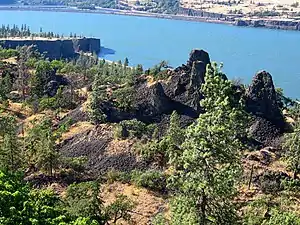 The Columbia River at the park | |
  | |
| Type | Public, state |
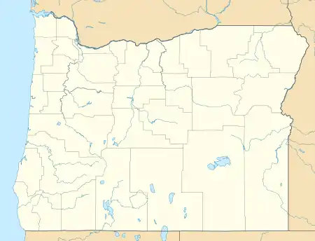
| Location | Wasco County, Oregon |
| Nearest city | Hood River |
| Coordinates | 45°41′44″N 121°19′58″W[1] |
| Operated by | Oregon Parks and Recreation Department |
History
Prior to the arrival of Europeans, the island was long used as a Chinook burial ground.[3]
The name is derived from "Memaloose Ilahee", the Chinook Jargon for "land of the dead".[4] Memaloose Island was originally referred to as "Sepulcher Island" by American explorers Meriwether Lewis and William Clark in their 1804-1806 expedition.[4]
See also
References
- "Memaloose State Park". Geographic Names Information System. United States Geological Survey, United States Department of the Interior. Retrieved 2011-07-01.
- "Memaloose State Park - Oregon State Parks". stateparks.oregon.gov. Retrieved 2023-04-30.
- "Recreating the Columbia River Highway - Memaloose State Park". sites.google.com. Retrieved 2023-04-30.
- "The Columbia River - Memaloose Island". columbiariverimages.com. Retrieved 2023-04-30.
External links
 Media related to Memaloose State Park at Wikimedia Commons
- "Memaloose State Park". Oregon Parks and Recreation Department. Retrieved 2011-07-01.
This article is issued from Wikipedia. The text is licensed under Creative Commons - Attribution - Sharealike. Additional terms may apply for the media files.