Harrisonville, New Jersey
Harrisonville is an unincorporated community located within South Harrison Township, in Gloucester County, New Jersey.[4] The area is served as United States Postal Service ZIP code 08039.
Harrisonville, New Jersey | |
|---|---|
 United States Census Bureau map of Harrisonville, New Jersey | |
 Harrisonville Harrisonville's location in Gloucester County (Inset: Gloucester County in New Jersey) 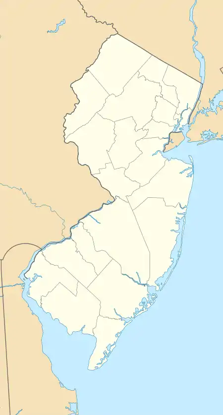 Harrisonville Harrisonville (New Jersey)  Harrisonville Harrisonville (the United States) | |
| Coordinates: 39°41′06″N 75°15′58″W | |
| Country | |
| State | |
| County | Gloucester |
| Township | South Harrison |
| Area | |
| • Total | 2.03 sq mi (5.25 km2) |
| • Land | 2.00 sq mi (5.19 km2) |
| • Water | 0.02 sq mi (0.06 km2) |
| Elevation | 82 ft (25 m) |
| Population | |
| • Total | 306 |
| • Density | 152.77/sq mi (58.99/km2) |
| ZIP code | 08039 |
| GNIS feature ID | 0876971[3] |
As of the 2000 U.S. Census, the population for ZIP Code Tabulation Area 08039 was 153.[5]
Harrisonville is located at 39°41′06″N 75°15′58″W.[6]
References
- "ArcGIS REST Services Directory". United States Census Bureau. Retrieved October 11, 2022.
- "Census Population API". United States Census Bureau. Retrieved Oct 11, 2022.
- "Harrisonville". Geographic Names Information System. United States Geological Survey, United States Department of the Interior. Retrieved October 6, 2012.
- Locality Search, State of New Jersey. Accessed June 9, 2016.
- Census 2000 Fact Sheet for ZIP Code Tabulation Area 08039 from the United States Census Bureau. Accessed June 20, 2008.
- U.S. Geological Survey Geographic Names Information System: HarrisonVille, Geographic Names Information System. Accessed June 20, 2008.
- "Census of Population and Housing". Census.gov. Retrieved June 4, 2016.
External links
Wikimedia Commons has media related to Harrisonville, New Jersey.
Municipalities and communities of Gloucester County, New Jersey, United States | ||
|---|---|---|
| City |  Map of New Jersey highlighting Gloucester County | |
| Boroughs | ||
| Townships | ||
| CDPs | ||
| Other communities | ||
| Footnotes | ‡This populated place also has portions in an adjacent county or counties | |
This article is issued from Wikipedia. The text is licensed under Creative Commons - Attribution - Sharealike. Additional terms may apply for the media files.