Charlwood, Hampshire
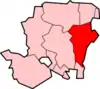
Charlwood is a hamlet in the East Hampshire district of Hampshire, England. It is 5 miles (8.0 km) southwest of Alton, just off the A31 road. It is in the large civil parish of Ropley and partially in East Tisted.
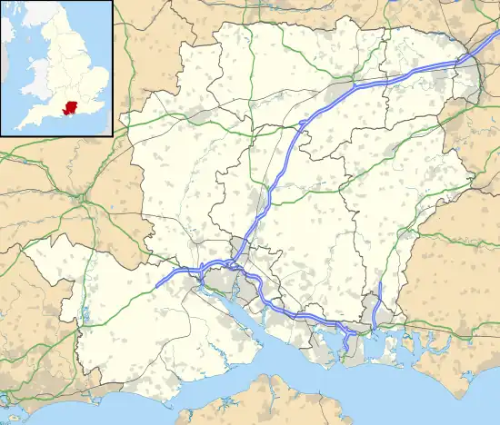
The nearest railway station is the restored Ropley railway station on the Watercress Line, trains from which connect with the nearest national rail station 3.6 miles (5.8 km) to the northeast, at Alton.
History
Charlwood is first mentioned in 1218 as "Cherlewde".[1] The name means the "Wood of the free peasant" from Old English "ceorl" and "wudu". It is recorded throughout the 13th century in conjunction with the Abbott of Titchfield who owned a wood in that Hamlet.[2]
Little remnants of the medieval past of this hamlet are visible, no official archaeological survey has produced any finds from this period in the area. Nearby Lyeway has however produced a great number of medieval potsherds and related archaeology as it was a notable medieval farm in Ropley
Charlwood House is the oldest building in the hamlet, shown on a 1635 map[3] of the surroundings of Rotherfield Park. On this same map a Brick Kiln and Clay Pit are shown nearby to this House, part of the larger brick making industry centred around Ropley and East Tisted.
In the 1800s the settlement of the hamlet reached its maximum with about 9 plots visible on the 1880s OS map. A methodist chapel was built to the south likely to serve this growing population in the early 1900s, however its congregation gradually dwindled, and it became derelict and was demolished.[4]
See also
References
- https://maps.hants.gov.uk/historicenvironment/herResults.aspx?monuid=41236
- Curia Regis Rolls
- Hampshire Record Office map of Rotherfield No. 103M71/Z2
- https://www.ropleyhistory.org.uk/village-history/methodist-chapels-in-ropley