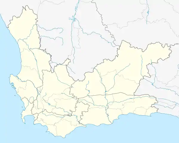
Richwood, Western Cape
Richwood is a small suburb situated on the northern outskirts of Cape Town, South Africa and is about 15 kilometres (9.3 mi) north-east of the city alongside the N7 freeway. According to the 2011 census it has a population of 2,988 residents in 963 households.[1] The name is a portmanteau of "Richmond Park" and "Goodwood".[2]
Richwood | |
|---|---|
 Richwood 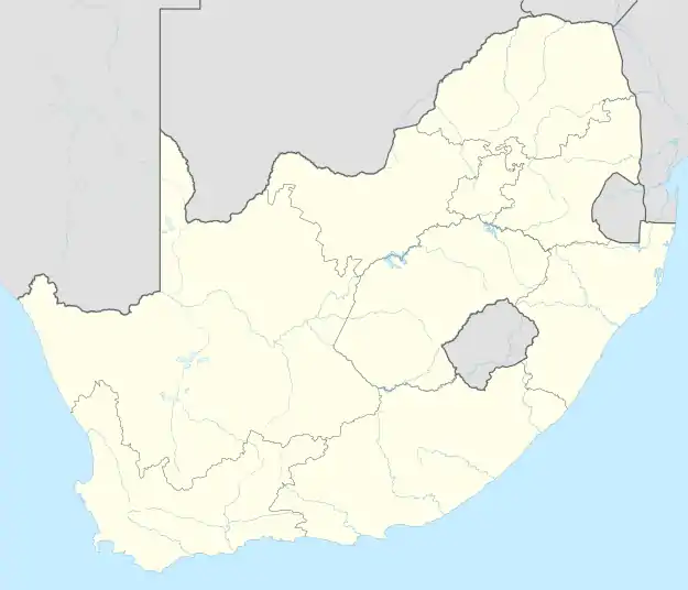 Richwood | |
| Coordinates: 33.832°S 18.544°E | |
| Country | South Africa |
| Province | Western Cape |
| Municipality | City of Cape Town |
| Government | |
| • Type | Metro Ward 1 |
| • Councillor | Cheryl Visser (DA) |
| Area | |
| • Total | 0.77 km2 (0.30 sq mi) |
| Elevation | 40 m (130 ft) |
| Population (2011)[1] | |
| • Total | 2,988 |
| • Density | 3,900/km2 (10,000/sq mi) |
| Racial makeup (2011) | |
| • Black African | 11.0% |
| • Coloured | 14.9% |
| • Indian/Asian | 1.1% |
| • White | 72.0% |
| • Other | 0.9% |
| First languages (2011) | |
| • English | 72.0% |
| • Afrikaans | 22.9% |
| • Xhosa | 3.1% |
| • Other | 2.0% |
| Time zone | UTC+2 (SAST) |
| Postal code (street) | 7441 |
| Website | www.richwood.co.za |
Transport
Richwood is located between the N7 highway and the M13 (Tygerberg Valley Road). The M13 connects Richwood to Durbanville and Bothasig and also provides access to the N7 highway (to Cape Town and Malmesbury) via the M14 and M12.
References
- "Sub Place Richwood". Census 2011.
- Raper, Peter E; Möller, Lucie A; du Plessis, L Theodorus (2014). Dictionary of South African Place Names (4th ed.). Johannesburg: Jonathan Ball. p. 435. ISBN 9781868425495.
Communities of City of Cape Town Metropolitan Municipality, Western Cape | |||||
|---|---|---|---|---|---|
Seat: Cape Town | |||||
| Atlantic Seaboard | .svg.png.webp) City of Cape Town within South Africa | ||||
| Blaauwberg | |||||
| Cape Flats |
| ||||
| City Centre | |||||
| Helderberg | |||||
| Northern Suburbs | |||||
| Southern Suburbs | |||||
| South Peninsula | |||||
This article is issued from Wikipedia. The text is licensed under Creative Commons - Attribution - Sharealike. Additional terms may apply for the media files.