Ramanallur
Ramanallur is a small islet located amid Kollidam river. It is a part of Alagiyamanavalam Revenue Village and Panchayat, Ariyalur taluka of Ariyalur district in Tamil Nadu, India.
Ramanallur | |
|---|---|
hamlet | |
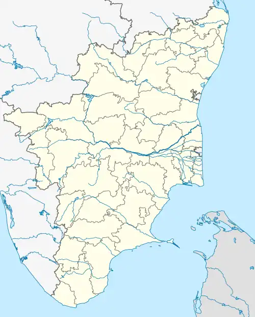 Ramanallur Location in Tamil Nadu, India 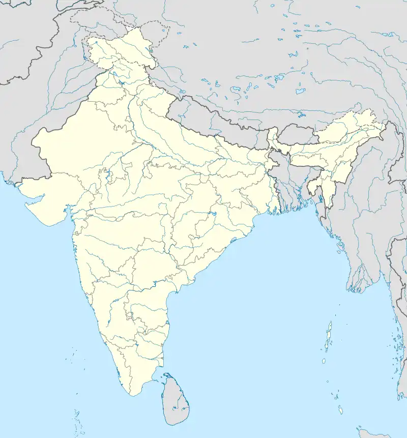 Ramanallur Ramanallur (India) | |
| Coordinates: 10°56′59″N 79°13′14″E | |
| Country | |
| State | Tamil Nadu |
| District | Ariyalur |
| Population (2001) | |
| • Total | 2,500 |
| Languages | |
| • Official | Tamil |
| Time zone | UTC+5:30 (IST) |
| Vehicle registration | TN- |
| Coastline | 0 kilometres (0 mi) |
| Nearest city | Thanjavur |
| Sex ratio | 944 ♂/♀ |
| Literacy | 59.98% |
| Lok Sabha constituency | Chidambaram |
Geography
Ramanallur is located at 10°56′N 79°13′E. It stretches 5 km (3.1 mi) east-west and 2 km (1.2 mi) north-south.
Ramanallur consists of Mela Ramanallur and Keezha Ramanallur.[1]
There are only 4 streets in Mela Ramanallur, which are:
- Vadukku Theru (North Street)
- Mela Theru (West Street)
- Therkku Theru (South Street)
- Keela Theru
Kizha Ramanallur is another islet located near to Mela Ramanallur amid Kollidam river.
Demographics
Ramanallur had a total population of about 2500.[1] Males constitute 50% of the population and females 50%. Ramanallur has an average literacy rate of 55%. 11% of the population is under 6 years of age.
Connection to mainland
A bridge to the islet was opened to the public in February 2016.[1] Prior to that, coracles were often used to cross the river to the mainland, with floats and bullock carts used during summer;[2] floods would often completely cut off the islet from the mainland.[1]
References
- Ganesan, S. (27 February 2016). "Bridge linking Ramanallur islet thrown open to public". The Hindu. ISSN 0971-751X. Retrieved 4 May 2023.
- Srinivasan, G. (3 August 2007). "A village struggling sans 'basic connectivity'". The Hindu. Archived from the original on 18 September 2008. Retrieved 4 May 2023.