Maura, Madhepura
Maura, or Moura Jharkaha, is a village in Shankarpur Block, Madhepura District, Bihar, India. It is located on the north of the district, approximately 19 kilometres northeast of the district capital Madhepura, and 5 kilometres north of the block capital Shankarpur. As of 2011, it has a population of 42,528.[1]
Maura
Moura Jharkaha | |
|---|---|
Village | |
 Maura 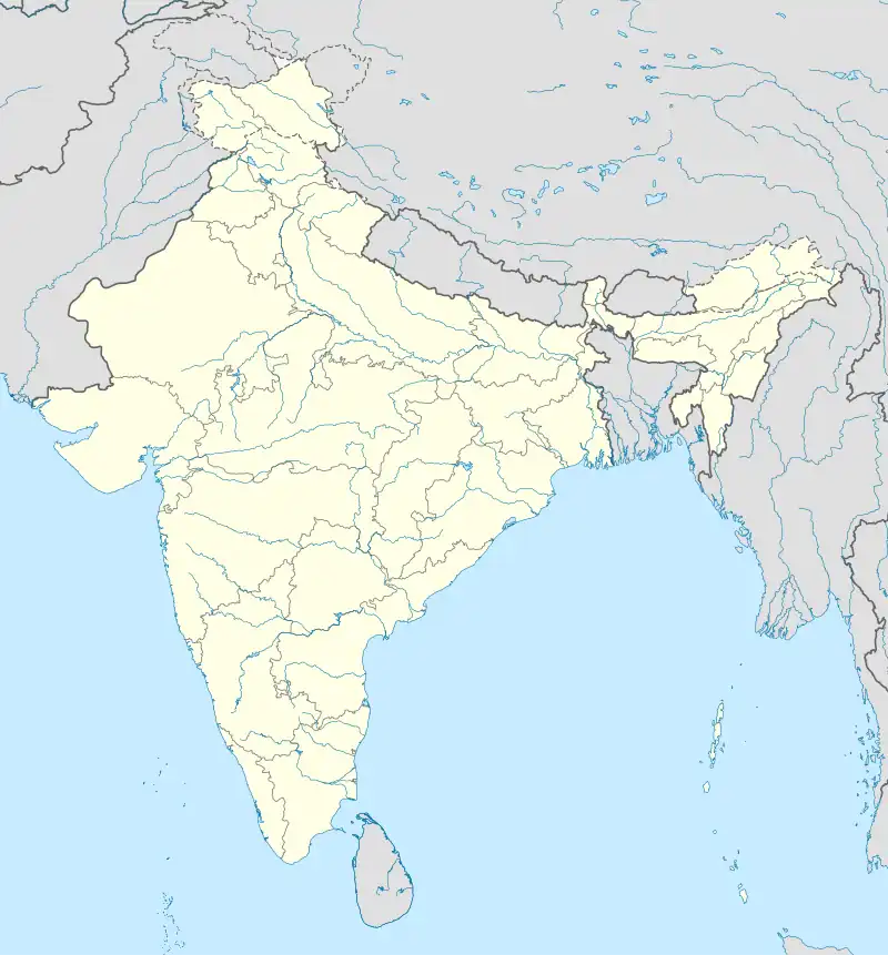 Maura | |
| Coordinates: 26°04′40″N 86°52′23″E | |
| Country | |
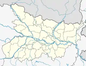
| State | Bihar |
| District | Madhepura |
| Block | Shankarpur |
| Government | |
| • Type | Village Panchayat |
| Area | |
| • Total | 47.32 km2 (18.27 sq mi) |
| Elevation | 54 m (177 ft) |
| Population (2011) | |
| • Total | 42,528 |
| • Density | 900/km2 (2,300/sq mi) |
| Languages | |
| • Official | Hindi, Maithili |
| Time zone | UTC+5:30 (IST) |
| PIN | 852128 |
| STD code | 0192 |
| Vehicle registration | BR-43 |
Geography
Maura is located on the south of Latona Noyrth, west of Garha Rampur, north of Behrari, and east of Rampur Lahi. Its land area is 4732 hectares.[2]
Demographics
According to the 2011 Census of India, Maura contains 8,790 households. Among the 42,528 residents, 22,202 are male and 20,326 are female. The literacy rate is 41.68%, with 11,087 of the male population and 6,638 of the female population being literate. The census location code of the village is 225905.[1]
References
- "Basic Population Figures of India, States, Districts, Sub-District and Village, 2011". censusindia.gov.in. Archived from the original on 2023-03-02. Retrieved 2023-04-19.
- "Maura, Shankarpur, Madhepura, Bihar, India - Geolysis Local". geolysis.com. Retrieved 2023-04-19.