Karmegh
Karmegh is a former village in Laukaha Block, Madhubani District, Bihar, India. It is situated near the border with Nepal, about 39 kilometres northeast of the district capital Madhubani, and 7 kilometres southwest of the subdistrict capital Laukaha. In 2011, there are 39,855 people residing within the village.[1]
Karmegh | |
|---|---|
Village | |
 Karmegh  Karmegh | |
| Coordinates: 26°31′31″N 86°25′58″E | |
| Country | |
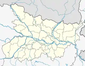
| State | Bihar |
| District | Madhubani |
| Block | Laukaha |
| Government | |
| • Type | Sarpanch |
| Area | |
| • Total | 38.76 km2 (14.97 sq mi) |
| Elevation | 81 m (266 ft) |
| Population (2011) | |
| • Total | 39,855 |
| • Density | 1,000/km2 (2,700/sq mi) |
| Languages | |
| • Official | Hindi, Maithili |
| • Other | Urdu, English |
| Time zone | UTC+5:30 (IST) |
| PIN | 847421 |
| STD code | 06277 |
| Vehicle registration | BR-32 |
Geography
Karmegh is located on the west of Bhuthi Balan River. Bihar State Highway 51 passes through the village. It has a total area of 3875.71 hectares.[2]
Demographics
According to the 2011 Census of India, it has 7,652 households. Out of the 39,855 residents, 20,448 are male and 19,407 are female. The literacy rate is 47.72%, with 12,224 of the male population and 6,794 of the female population being literate. The census location code of Karmegh is 219986.[1]
References
- "Basic Population Figures of India, States, Districts, Sub-District and Village, 2011". censusindia.gov.in. Archived from the original on 2023-03-02. Retrieved 2023-04-19.
- "Karmegh, Laukaha, Madhubani, Bihar, India - Geolysis Local". geolysis.com. Retrieved 2023-04-20.